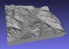
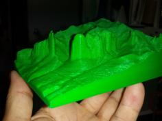
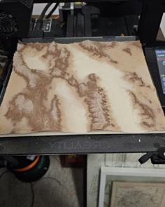
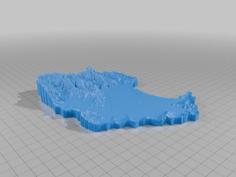
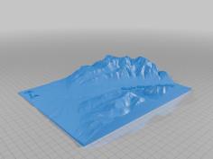
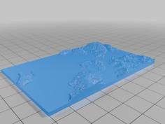
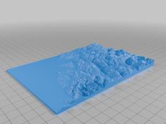
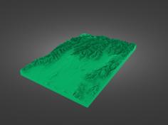
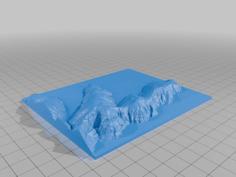
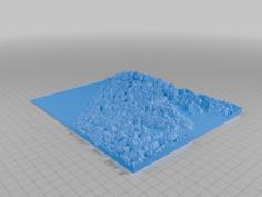
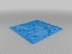
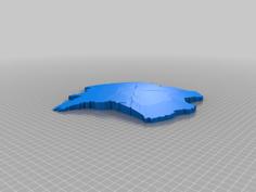
Elevation model of the catchment boundary of the Upper Ruamahanga (from approx. Greytown up). Made in R using Rayshader.
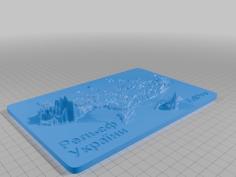
When slicing, consider scaling the Z axis to your liking to give extra vertical exaggeration. In the photos of my 200mm print I scaled the z-axis 200%. The 400mm files have some additional vertical exaggeration already applied.
I have provided 3 sets of files:
Recommend printing with a smallish layer height for the fine details.
| ruamahanga-400mm-b1.stl | 47.3MB | |
| ruamahanga-400mm-b2.stl | 52.4MB | |
| ruamahanga-400mm-b3.stl | 62.8MB | |
| ruamahanga-400mm-b4.stl | 67.4MB | |
| ruamahanga-400mm-manifold.stl | 228.4MB | |
| ruamahanga.stl | 227.7MB |