Laser Cut
3D Printer
Search
Laser Cut
CDR
DXF
SVG
Box Generator
3D Printer Models
3D Printer Models
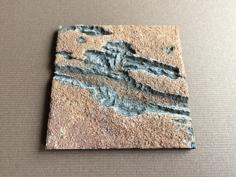
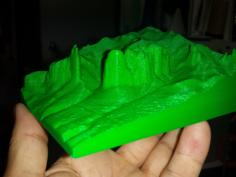
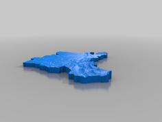
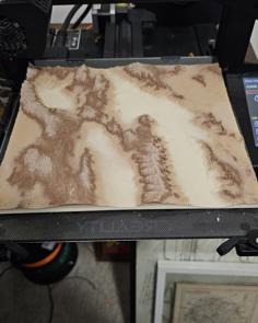
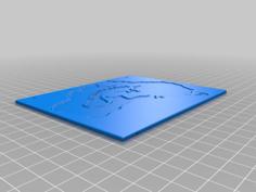
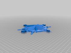
Topographical Map Of Ohio 3D Printer Model
Author: @
jriley2
License:
CC BY
File formats:
stl
Download type:
zip
Size:
7.7MB
Download
The file 'Topographical Map Of Ohio 3D Printer Model' is (stl) file type, size is 7.7MB.
Description
Files (1)
Summary
Downloaded map JPG from
http://topocreator.com/download_atlas.php#OH
Posterized and sliced into layers with Photoshop
Used Illustrator to Live Trace each layer and save each layer as an SVG
Imported each layer into TinkerCAD and set layer heights
Ohio_Topo_Map.stl
26.0MB
Download
Tags
map
topography
Topographical
relief map
Ohio
You might also like
Valles Marineris, Mars 3D Printer Model
Los Mallos De Riglos 3D Printer Model
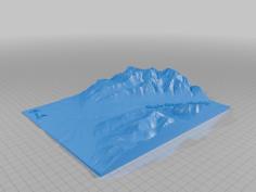
Mount Saint Helens 3D Printer Model
Luzern / Lucerne 3D Printer Model
Death Valley Topographical Map 3D Printer Model
Ohio 2024 Eclipse Pinhole Viewer 3D Printer Model
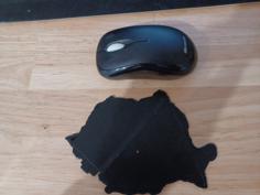
Romania – Map Template 3D Printer Model
Eriz (switzerland) Topography 3D Printer Model
Grand Lake Michigan Wall Map Art 3D Printer Model
3-star Columbus Crew Circle Badge 3D Printer Model
Kangaroo In Australia – Wall Hanger 3D Printer Model
3 Star Columbus Crew OG Badge 3D Printer Model
Topographic Map 3D Printer Model
Hexagonal Collectible Blocks Of Visited Countries 3D Printer Model
Eagle River Alaska Topography 3D Printer Model
Hexagon Topographic World Map 3D Printer Model
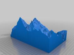
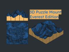
3D Puzzle Mount Everest Edition 3D Printer Model
Eclipse 2024 Ohio Ornament 3D Printer Model
Ship Wheel – Compass Rose 3D Printer Model
Denmark Map 3D Print 3D Printer Model