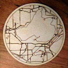
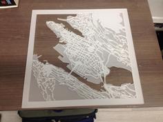
Full tutorial available at: https://www.instructables.com/id/Topographical-Push-Pin-Map/
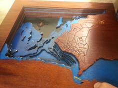
I recently went on a quest to try and figure out how to make a push pin map using multi-layered cork based on topographical features, and after working through the process, I am pretty happy with my first prototype! In this tutorial, I will go through the process I developed to make this map, both what I thought worked well, and what I would recommend doing differently.
The basic process that I will explain in this tutorial is:
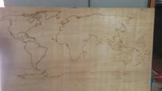
-How to custom make topographical contour maps
-How to convert that into a laser cuttable format
-How to laser cut the pieces
-How to put all the pieces together, and how to do it in a way that looks good
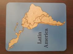
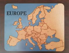
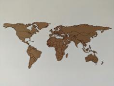
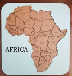
Attached here are the files that I used to to make my map. The SVG file is the original I made using Inkscape, and can be easily edited. The others are the laser cutter ready DXF and PNG files I exported. Each layer DXF and PNG should be sized so that they are exactly the same (meaning you can raster and then cut the same layer without needing to re-home the laser cutter), but I would still double check to make sure. If you just want to make a Washington map, those files should be all you need, and you can skip down to the laser cutting step. The earlier steps will hopefully allow everyone else to replicate my work on other areas so that you can make a topographical map of wherever you want.
Supplies:
-Cork Board, recommend 1/8" for around a 50W laser cutter.
-Plywood for the base (I used 1/4", but 1/8" would work as well)
-Glue (I used wood glue and quick drying super glue)
-Wood Stain
-Brushes
-String, "Dressmaker Pins", Push Pins (anything you want to put on the board)
-Optional: Neodymium magnets (helps hold down the cork board when laser cutting)
Tools:
-Laser Cutter
Programs:
-Maperitive (or other program that can turn topographical data into maps, like QGIS)
-Inkscape (or other vector program like Illustrator)
| Base_Cut.dxf | 111.7KB | |
| Layer1_Cut.dxf | 519.6KB | |
| Layer2_Cut.dxf | 995.5KB | |
| Layer3_Cut.dxf | 1.6MB | |
| Layer4_Cut.dxf | 1.5MB | |
| Layer5_Cut.dxf | 440.8KB | |
| PNG_RasterFiles.zip | 862.3KB | |
| WashingtonStateTopoMap_Final.svg | 2.3MB |