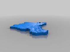
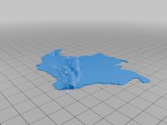
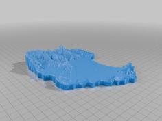
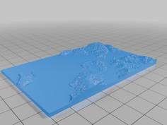
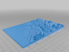
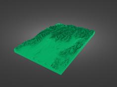
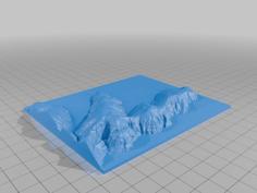
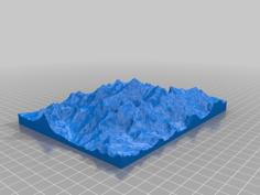
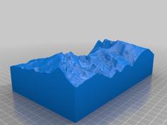
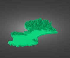
This is an elevation model of the Glaisnock Wilderness Area, from Milford Sound in the north, to George Sound in the south, to Lake Te Anau in the east.
Made with TouchTerrain. You can replicate using this URL: http://touchterrain.geol.iastate.edu/main?trlat=-44.54120302238039&trlon=168.07434565118132&bllat=-45.207816100412295&bllon=167.29156977227507&scale=1.00&DEM_name=JAXA/ALOS/AW3D30/V2_2&tilewidth=180&printres=0.4&ntilesx=1&ntilesy=1&DEMresolution=137.45&basethick=1&zscale=-15&fileformat=STLb&maptype=roadmap&gamma=1&transp=20&hsazi=45&hselev=45&map_lat=-44.72306119719307&map_lon=167.72297166444713&map_zoom=9
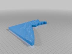
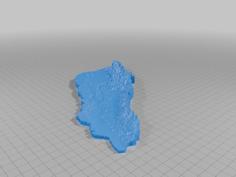
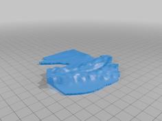
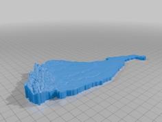
Two different STL files. One is higher resolution for 0.2mm nozzles (or up scaling) and the other is medium resolution for 0.4mm nozzles.
| pt2mm.STL | 99.3MB | |
| pt4mm.STL | 25.0MB |